
IT Solutions & Digitalisation
Digital Engineering
Energy Point’s digital engineering team can scan anything you need using the latest scanning equipment. Under the guidance of a leading specialist in applied surveying, we scan everything from buildings and dams to small mechanical components using the latest workflows and techniques. Moreover, we also scan underwater, offering the most accurate hydrographic 3D scanning in the country.
We can build BIM models from your 2D plans or directly from our 3D scans and point clouds. We can model in Revit, Civil 3D, AutoCAD and more. We are developing our software solutions for automation and communication between BIM and other engineering modelling platforms based on Dynamo and Python.
Our GIS services and analytics also include specialized GIS services using our own software solutions along with open source GIS to manage clients’ spatial data according to their needs.
- Geodetic Surveying
- 3D Laser Scanning
- Hydrographical 3D Scan
- GIS Services
- BIM Modelling
- Digital Twin
- Visualisation and Virtual Reality

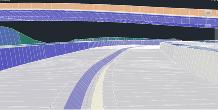
BIM River Correction
Elaboration of a Civil 3D BIM project for river correction of Banishka river, Mladost district, Gorublyane area
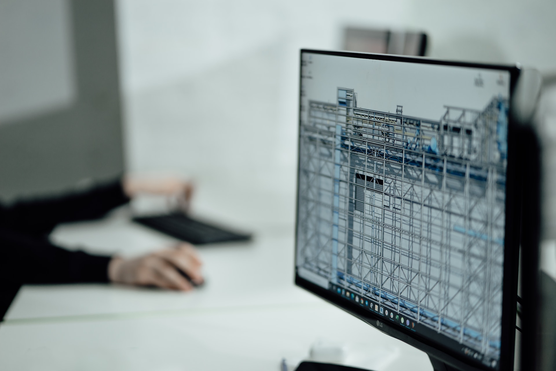
BIM Residential Building
Revit BIM project for reconstruction and renovation of a residential building and plumbing system infrastructure, East district, Sofia
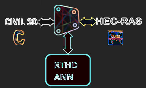
Dynamo for Civil 3D
Project for programming and testing of a module for automated design in BIM using Dynamo for Civil 3D - Module for hydraulic calculations with Artificial Neural Network - Dynamo communication with HEC-RAS - tested on the Baniska river correction